
Precision in Engineering Consultancy and Project Management.Transforming visions into reality every step of the way

Modern practices
We leverage modern project management and design practices

Digital First tools
We use modern and digital first hardware and software tools for design and modelling

Process Driven
Processes are the key to delivering quality results across multiple projects

Value For Money
Our services and solutions maximise the value of your project investment

Multi-disciplinary
Our team brings together expertise from multiple complimentary disciplines

Experience
Our consultants have deep experience and expertise in their respective fields
What we offer

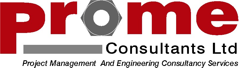
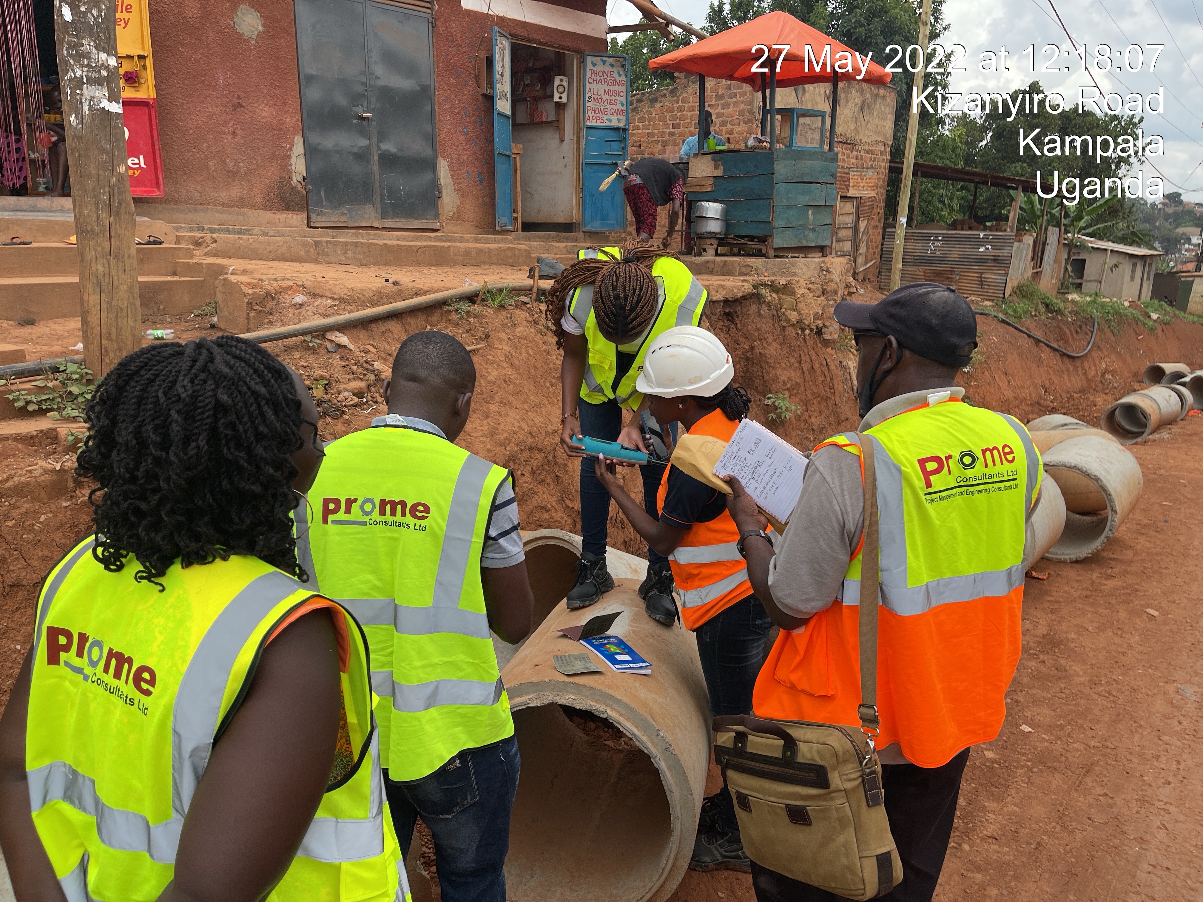
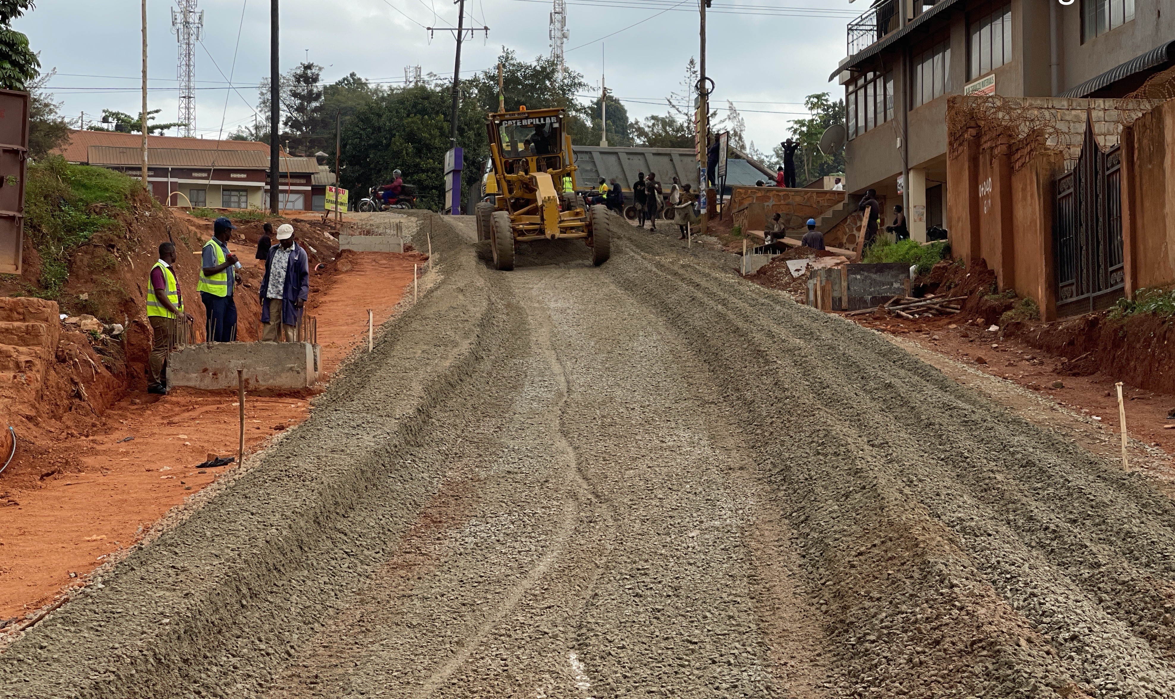
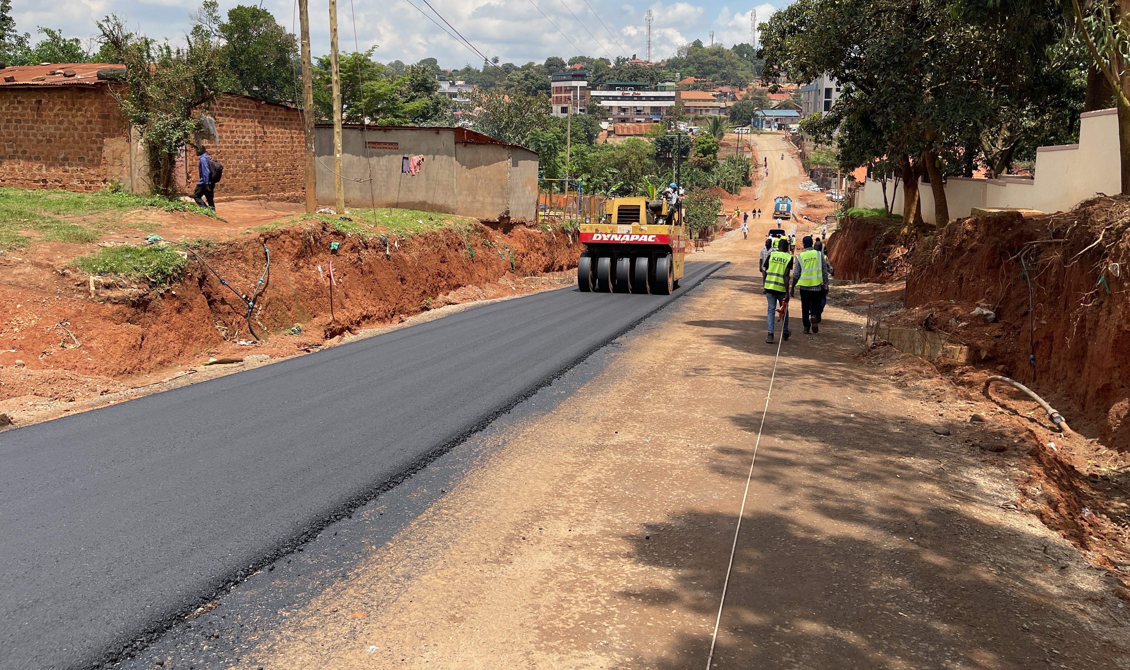
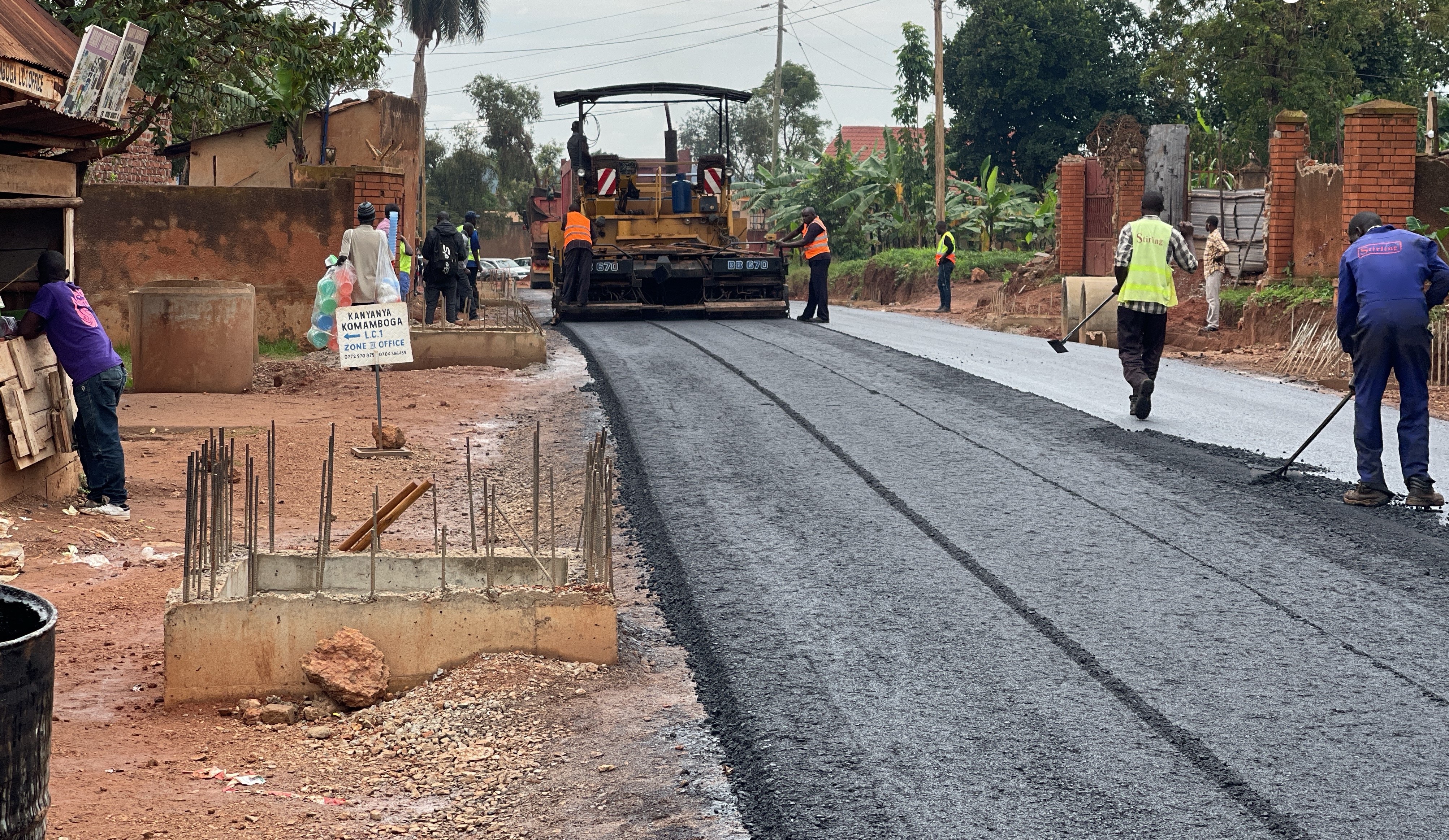
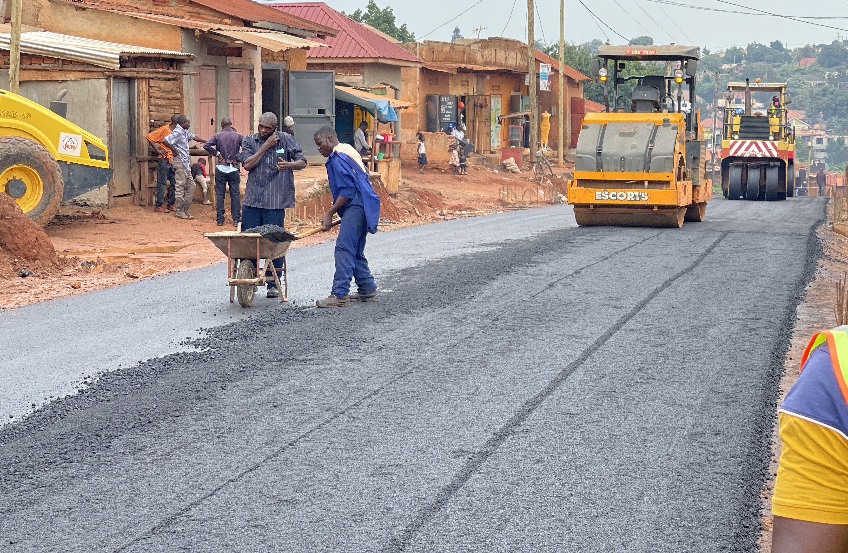
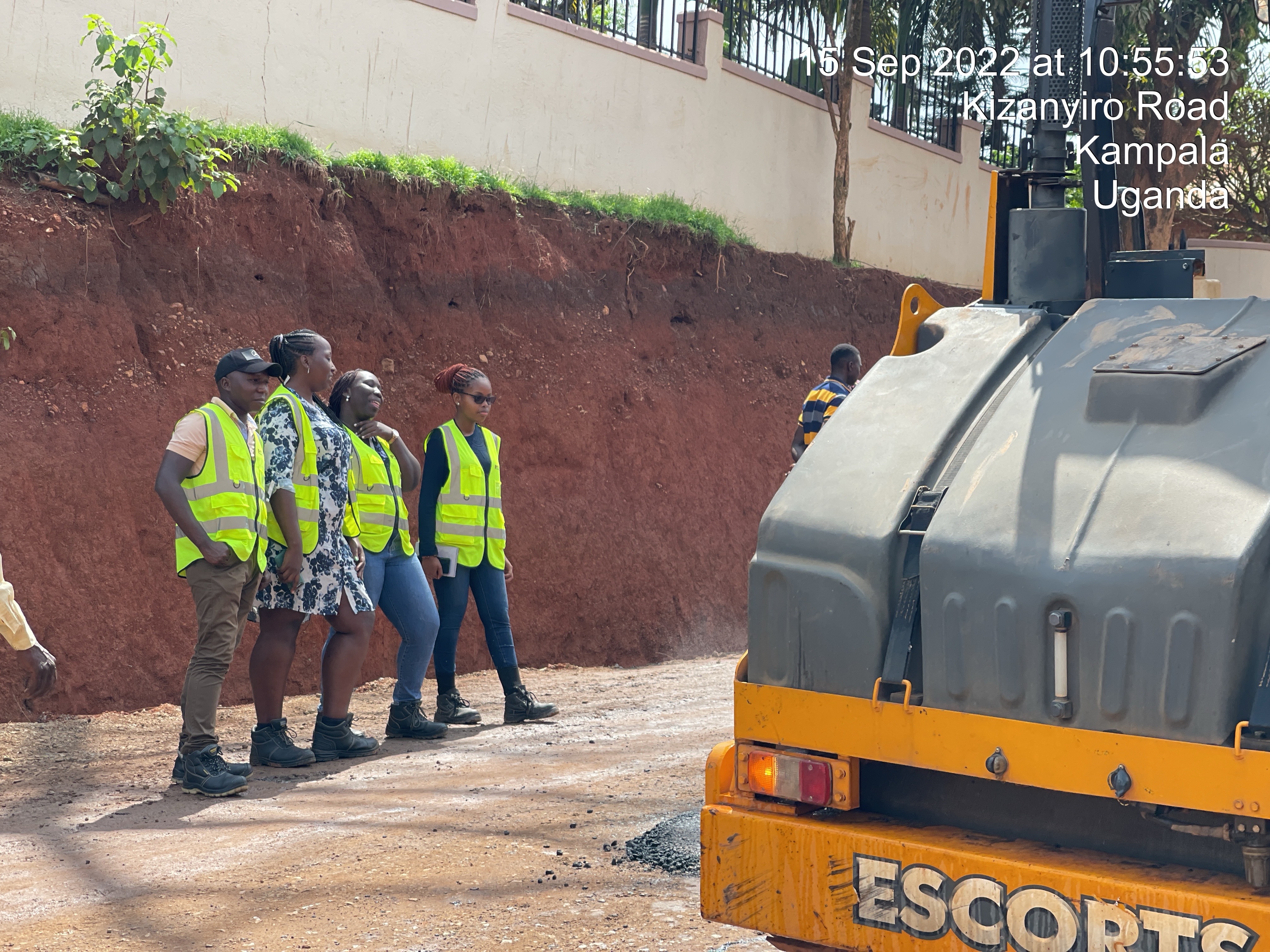
CONSTRUCTION SUPERVISION
PROME Consultants Limited has a fully-fledged project management team that has demonstrated innovative approaches in the delivery of infrastructure projects on time and on budget
Read More
ENERGY DEVELOPMENT STUDIES
Appropriate energy studies , Energy conservation and energy resources development
Read More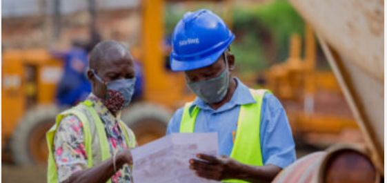
PHYSICAL PLANNING
Physical planning relates to design and managing of physical infrastructure including the zoning , land sub division and demarcating areas for development. The physical planning team
Read More
TOPOGRAHICAL AND CADASTRAL SURVEYS
Topographical Engineering surveys , a thorough topographical survey is vital for the sucess of any engineering project. PROME consultants ltd operates a stand-alone topographical and cadastra
Read More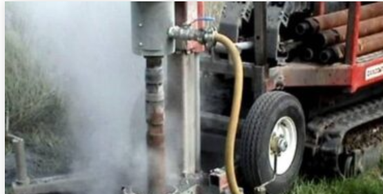
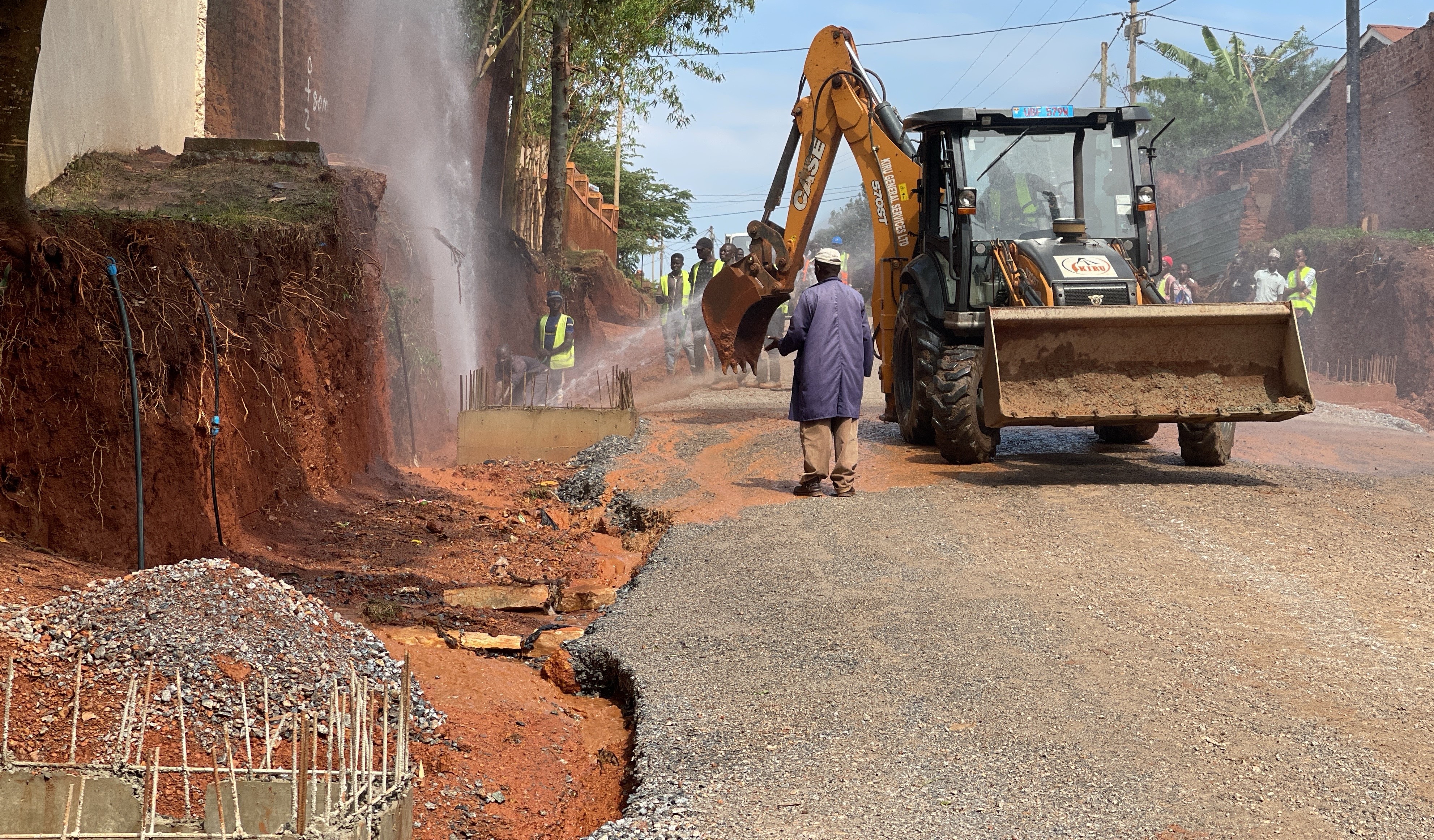
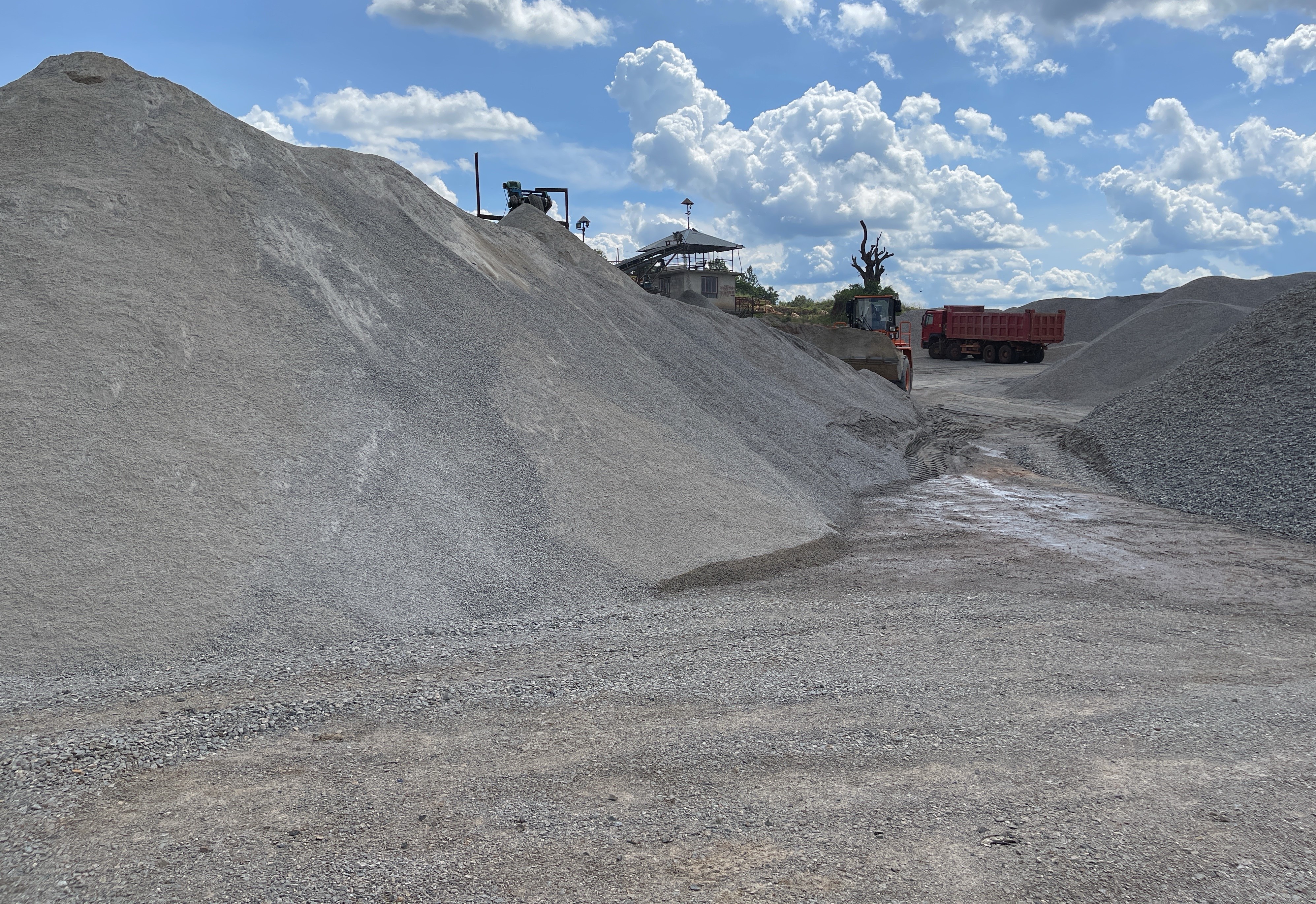
GEOLOGICAL SURVEYS
At PROME, we provide a complete service from materials sampling, in-situ testing and analysis through to the preparation of Interpretative Reports. Our team of engineers
Read More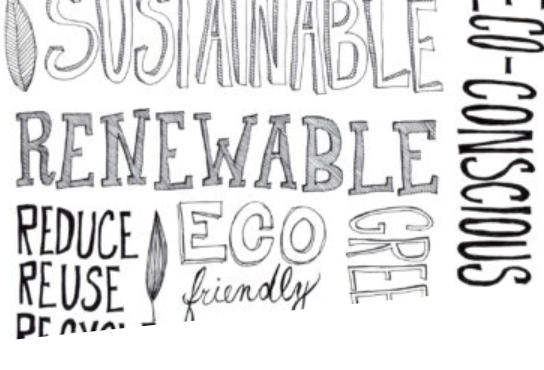
ENVIROMENTAL SOCIO-ECONOMIC STUDIES
Our Environment is constantly changing with development, so it is important that any development growth is sustainable both socially and economically in order to achieve
Read More
MULTI-MODEL TRASPORTATION STUDIES
Over the years Uganda developed a multi-modal transport system, based initially on railway and waterway services, followed later by roads and air services. Roads are
Read More
DIGITAL TECHNOLOGY SOLUTIONS
The growth of the economy amidst the pandemic can be ensured by putting in place comprehensive means of making predictions and formulating growth-oriented strategies around
Read More
ENGINEERING DESIGN
Engineering design is a key aspect when it comes to solving the infrastructure problems facing the World today. PROME has over the years demonstrated competence
Read More
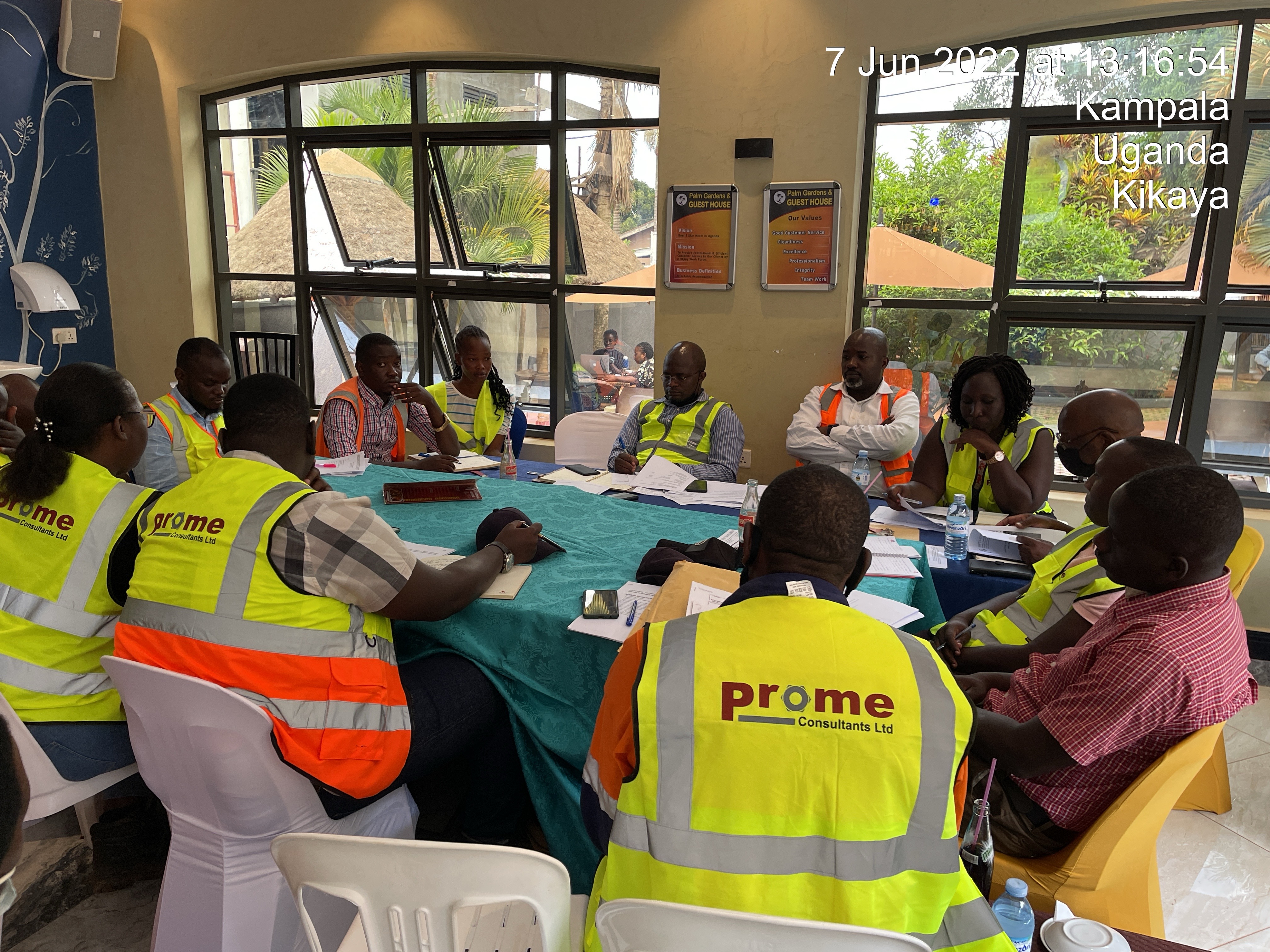
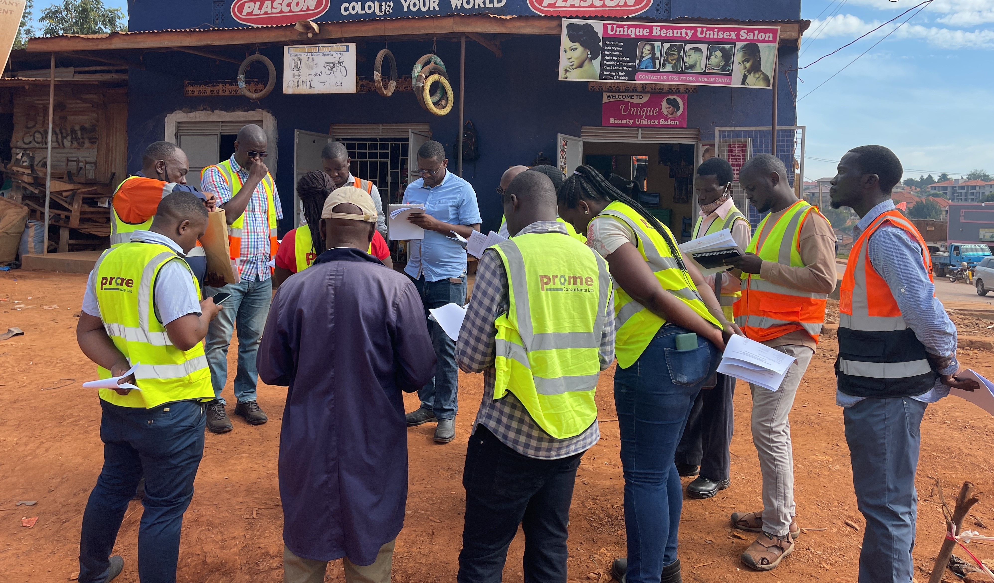
PROJECT MANAGEMENT
From our regional presence we bring together experienced professionals from the region and across the globe to provide project and contract management services to our
Read MoreAccreditation/Membership Registration with Organisations
Memberships


Accreditations